Geography, GIS & Sustainability
Academic Department
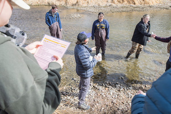
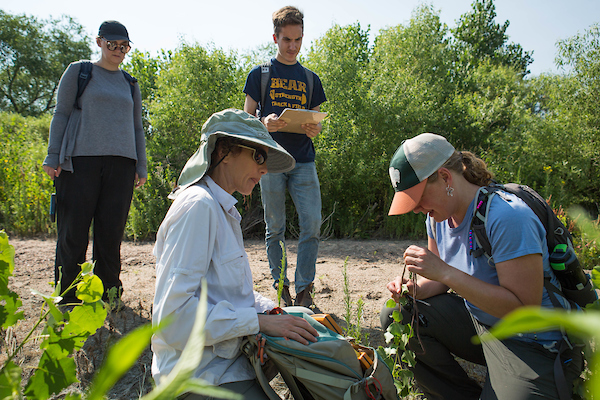
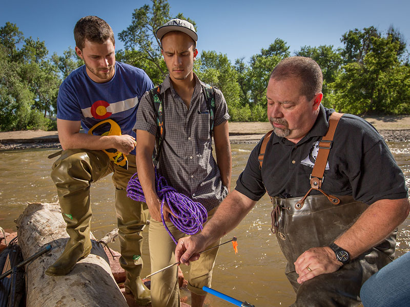
Welcome to the Department of Geography, GIS, and Sustainability (DoGGS)! Explore connections between people and the environment through hands-on projects, fieldwork, and teamwork. Gain real-world skills in a supportive community that values the planet, fairness, and helping each other succeed.
Explore Geography, GIS & Sustainability
Discover the World with Geography
In Geography, students learn how people and the environment shape our world. Geographers study how nature, culture, politics, and the economy connect and change over time. They look at the big picture to understand how places and people grow and interact at local, regional, and global levels.
Shape the Future with Environmental and Sustainability Studies
In the Environmental and Sustainability Studies, students tackle the most pressing challenges of our time, from climate change and water scarcity to environmental justice and sustainable development.
Learn More About Our Department
Our majors and minors offer students lots of choice to study what interests them most. You can major in Environmental & Sustainability Studies or choose from one our four Geography concentrations: Community Development, Field Studies, Geographic Information Sciences (GIS), or Regional Studies.
We also offer minors in Geography, GIS, and Sustainability plus certificates in GIS and Cartography and in Drone Operations and Spatial Analytics. These programs are great addition to many other subjects you might study.
Celebrating Our Achievements!
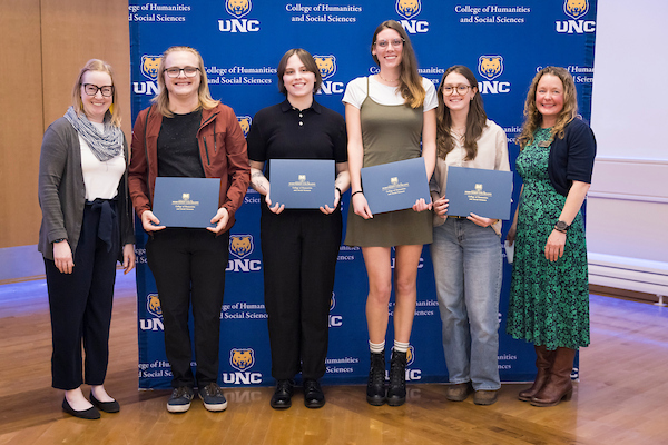
Students Recognized at 2026 Honors Convocation
Kaitlyn Parko, Ella Rosa, Madelyn Hill, Madison Tucker, and Kyle Webber were awarded at the 2026 Honors Convocation!

Dr. Lee: Recipient of the College Scholar Award
Congratulations to Dr. Jieun Lee on this accomplishment.
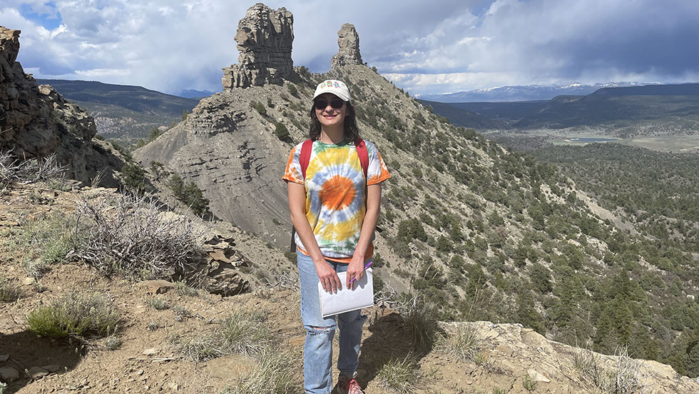
Student Emily Garcia: July 2025 Climate Hero
Check out this article about our student, Emily Garcia and the work she has done for the community.
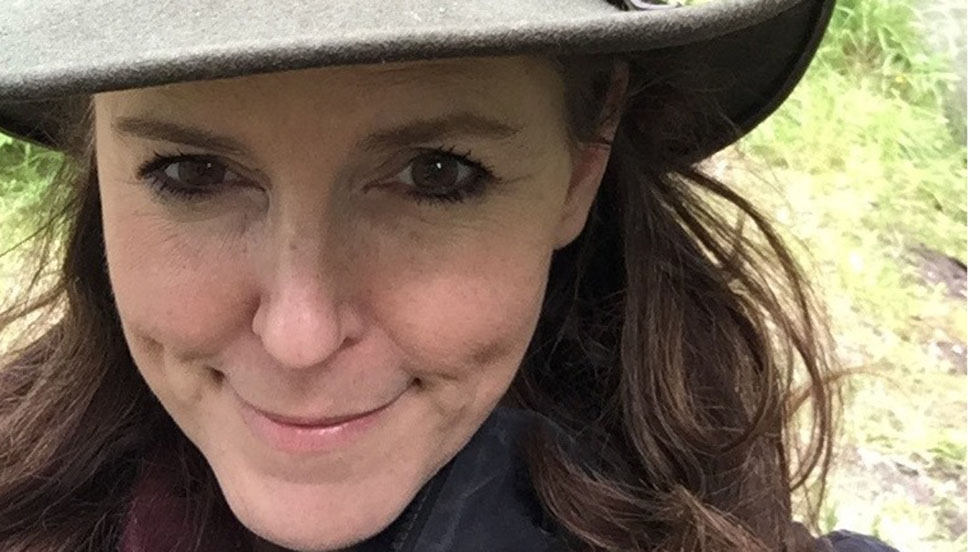
Cabo Verde Fulbright Scholar, Dr. Karen Burton
Dr. Barton spent most of Spring 2025 at the Universidade Tecnica do Altantico in Cabo Verde. She worked on a project called "Toward a Sustainable Blue Economy in Cabo Verde." The project was about studying and teaching geography, with a focus on caring for the ocean and coastlines.
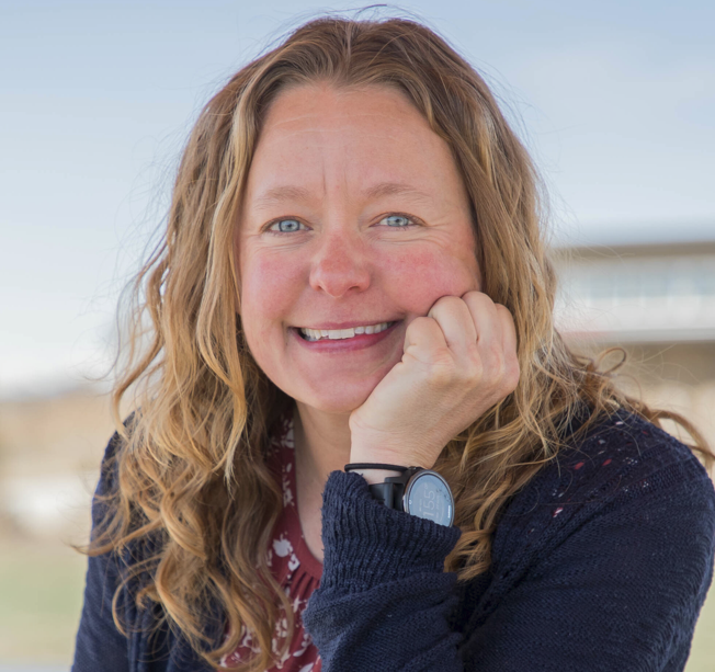
Dr. Jessica Salo Collaborates on the Colorado Sustainability Hub
Dr. Salo is working with researchers from five other schools in Colorado on the Sustainability Hub. This project, funded by the NSF, will cost $1 million and will create a data website that anyone in the state can use. She has engaged three UNC undergraduate students in the project.
News

Pursue a Future with Geography, GIS, or Sustainability
With a degree in Geography, GIS, and Sustainability, UNCO graduates get good jobs in many interesting and needed careers.
Geographic Information Systems (GIS) is a growing field that helps us understand the world through maps and data. It combines mapping, analysis, and technology to answer questions like “What? Where? Why?” GIS is used to study city planning, crime patterns, and natural resource management, helping create smart, sustainable solutions.
Our graduates are ready for jobs in government in local, state, and national levels. They use mapping, data, and environmental skills to help respond to emergencies and solve problems like sustainable water use, city planning, resource use, safety, transportation, and climate change – helping create smart, sustainable decisions for communities and the planet.
Physical geographers and environmental scientists explore the nature world and how people affect it. They study topics like climate change, natural hazards, and resource use. Using tools like GIS and remote sensing, they map and analyze the environment, building skills that help solve real-world and protect our planets future.
Urban, regional, and environmental planners design how communities use and grow land. They plan schools, parks, transit, and more to create healthy, sustainable cities. Using mapping, data, and teamwork, planners balance environmental, social, and economic needs, helping shape smart, green communities for the future.
A Geography or Environmental Sustainability degree opens to careers protecting and managing natural resources. Graduates work as conservation scientists, park rangers, or environmental specialists. They care for land, water, and wildlife, guide sustainable energy use, and ensure companies follow environmental rules, making a difference for people and the planet.
A Geography or Environmental Sustainability can lead to many teaching opportunities. Graduates can teach in K-12 schools or outdoor education programs. They may also lead community workshops, museum programs, or environmental training for organizations, helping others learn how.
Transport scientists study how people and good moves and how travel shapes communities. They explore ways to make travel faster, safer, and better for the environment. By studying traffic, land use, climate, they help create cleaner, more connected, and sustainable transportation systems for the future.
For Current Opportunities:
Join our LinkedIn group to connect with fellow students and alumni and to learn about jobs, internships, and other opportunities.
Career Resources
Internship Opportunities
Gain hands-on experience and learn professional skills working for organizations from the National Park Services to NASA to the National Geographic Society.
Please talk to one of our faculty members about current internship opportunities.
Explore Scholarships
UNC has many scholarships for Geography, GIS, and Sustainability students. Some come from the school, and some come from outside groups.
UNC Internal Scholarships
Many generous donors have created scholarships for students at UNC. Please check out the official scholarship page for more information.
Department Specific Scholarships:
David M. Digs Excellence in Geography, GIS, and Sustainability Scholarship
Dietz-Cummins Scholarship
Lee R. West Scholarship
Loving Climate Foundation Scholarship
William Brenton, Jr. Scholarship
If you have any questions, please reach out to sherdian.snapp@unco.edu
Community Foundation of Northern Colorado
The Community Foundation is happy to work with people who give money to help students from Northern Colorado and the Eastern Plains go to school.
Requirements: Vary
Award: between $1000 and $5000
Due Date: TBD
Find the Application here
COSI: Colorado Opportunity Scholarship Initiative
COSI gives money to programs across the state that help students get ready for college and support them until they finish.
Requirement: Vary
Award: Varies
Due Date: Varies
Find the application here
Colorado Women’s Education Foundation
CWEF’s goal is to give more scholarships to women in Colorado who go back to college later in life.
Requirements: Under 25, women identifying, Colorado resident.
Award: $2000+
Due date:
Find the application here
GIS Colorado Scholarship
College scholarships are given to students who are good at maps and location tools.
Requirements: Map, letter of recommendations, and resume.
Award: Between $500 and $1500
Due Date:
Find application here
Jim Roberts Scholarship
This scholarship is given once a year to a student learning about the environment at a college or university in the US, its territories, or Canada.
Requirements: 3 letters of recommendations, 1 essay.
Award: $3000
Due Date: Early February
Zonta Club of Greeley Scholarship for an Outstanding Female STEM Student
The local scholarship award is $2000. One regional winner will receive $5000 and 31 international winners will receive $5000 as well. The application from the local winner will be sent on the regional level with support from the Greeley Zonta Club.
Real People, Real Stories
Major in Communication Studies, Minor in GIS
“I came in with minimal GIS Knowledge but a passion for geography, and the DoGGS showed me how to grow my knowledge in way that aligns with my interests.”
Current Position: Imagery Support Representative at Vantor
BA in Geography, Minor in GIS
“The professors in the DoGGS provided the perfect environment to foster my professional development. The biggest features I have taken forward from my time with DoGGS is the importance of collaboration, networking, and time management practices.”
Current position: Technician I at the Colorado Department of Transportation/Engineering/Physical Sciences
BA in Environmental Studies and Sustainability; Minor in Earth Science
“I was surrounded by professors who were clearly knowledgeable and passionate about what they were doing, which made them easier to connect to and see guidance from throughout my time as a student.”
Current Position: GIS Analyst at Tri-State Generation and Transmission.
BA in Enviromental Sustainability Studies and Business Administration, Minor in Communication
“The mentorships, hands-on experience and intimate support I received from the department are invaluable. Each professor and my community of peers significantly impacted me, setting me up for success in overseeing a global nonprofit with 30 years of experience championing climate justice.”
Current Position: Executive Director of Earth Guardians
Our alumni have been part of the following panels:
Faculty Research
Current Research
- Mangrove Restoration in Senegal (Investigating how mangrove restoration promotes peace, diplomacy, and climate justice in coastal communities.)
- Geographies of Omission and the Joola Disaster (Examining the causes, consequences, and cultural memory of the MV Joola shipwreck, Africa’s worst maritime disaster.)
- West African Scripts and Knowledge Diffusion (Exploring indigenous scripts and knowledge systems to reframe African Literary and historical narratives.)
Current Research
- Transitional Colonization of Colorado’s Souther Rocky Mountains from the Late Pleistocene to the Early Holocene.
- Aerial, Satellite, and UAV Digital Imaging of the Dearfield Townsite: Documenting its Landscape, Contemporary Public Events, Archeological Excavations, and Building Restoration.
- Proxy Indicatiors of Climate Change in Echo Lake Mountain Park, Colorado.
- Lawn Lake, a high montane hunting camp in the Colorado (USA) Rocky Mountains: Insights into early Holocene Late Paleoindian hunter-gatherer adaptations and paleo-landscapes.
- Owl Ridge Field Investigations and aerial Drone (UAV) Survey Program, North Park, Colorado.
- Understanding stakeholder perceptions of Managed Aquifer Recharge for flood management, disaster prevention, and water security enhancement
- Investigating the ongoing impacts of fires in the wildland-urban interface
- Exploring the intersection of experiences with climate change and environmental distress
- Finalizing a policy paper on the upcoming reauthorization of the Bipartisan Infrastructure Act of 2021 focusing on the prospects for developing a new national plan and funding mechanisms to replace the gas tax
- Ongoing assessment of the role of climate change, metropolitan planning, and connected and automated vehicles on federal transportation policy
- Institutional research growth and capacity building by fostering equitable and sustainable research practices
- Women excellence in STEM research and teaching: Geospatial Alliance for International Women Faculty Excellence
- Equitably Resilient: neighborhood equity in building community resilience through sustainable and active transportation, participation in physical activity, and safety in Colorado
- Crime, urban planning polices and design practices, and sense of place
- Data-driven behavioral modeling in urban transportation planning
- Applying machine learning techniques as an assessment tool to understand how students learn complex sustainability topics in the Food-Energy-Water-Nexus
- Developing practical ways to teach sustainability competencies
- Engaging faculty, students, and local community members in finding solutions to local climate-related challenge through our COOLER program
- Colorado Sustainability Hub: an open-source platform that centralizes sustainability data to support research, education, and policymaking in Colorado
- Developing a model to identify, evaluate, and analyze historic agricultural water conveyance features, including irrigation and drainage ditches, within Rocky Mountain National Park
- Examining channels and vegetation dynamics in the lower South Platte River in northeastern Colorado using historical aerial photographs and streamflow records