Anthropology
Academic Department
Anthropology is the study of people, both in the past and today. UNC anthropology students build research skills that connect with many fields. They also learn about human behavior and why it changes over time. At UNC, students focus on community and civic engagement. This helps them gain hands-on experience in their local areas and around the world.
Study the Story of Cultures
Why Study Anthropology
When people hear the word Anthropology they often think of Indiana Jones or imagine studying faraway cultures. In reality, Anthropology is about studying and understanding human life and experiences from the past to today. In our Anthropology program, you’ll learn the skills to help you analyze and address real world problems.
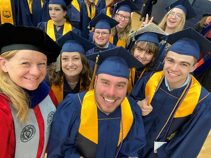
Join the Anthropology Family
You’ll find that the Department feels like a small community within a larger university. Our classes for upper-level students are small, making it easier for you and your professors to get to know each other and work together.
Department News
Alumni Spotlights

Class of 2024
Anita Patane graduated at UNC in 2024 with a bachelor's degree in Anthropology with a focus in Biological Anthropology. While she was a student at UNC, she had the chance to do an 8-week summer internship at the National Museum of Natural History in D.C. Currently, she is completing her master's degree.
Anita Patane
B.A. in Anthropology
Class of 2022
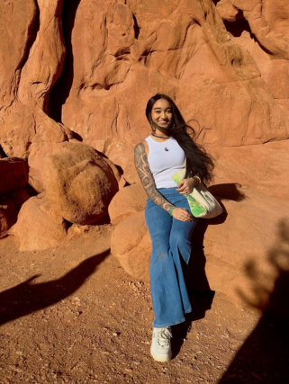
Kehaulani Lagunero graduated UNC in 2022 with a bachelor's degree in Anthropology with a focus in Cultural Anthropology. Currently she is finishing up her MA, and pursuing her PHD.
Kehaulani Lagunero
B.A. in Anthropology
Class of 2022
Anthropology has greatly assisted me with remaining objective in stressful situations and allowing me to see others' perspectives on the great variety of situations that I handle. Anthropology also inspires me to learn more and ask deeper questions of the people around me.
Cydnie O'Brien
B.A. in Anthropology, minors in Chemistry and Criminology & Criminal Justice
Medicolegal Death Investigator at the Weld County Coroner's Office.
Class of 2020
Ruqyah Sweidan graduated in 2020 with a Bachelors in Anthropology and minors in Art History and Criminal Justice. She completed a master's degree in International Relations at the University of Leicester. She currently works in the non-profit sector.
Ruqyah Sweidan
B.A. in Anthropology, minors in Art History and Criminology and Criminal Justice


Anthropology Exhibit
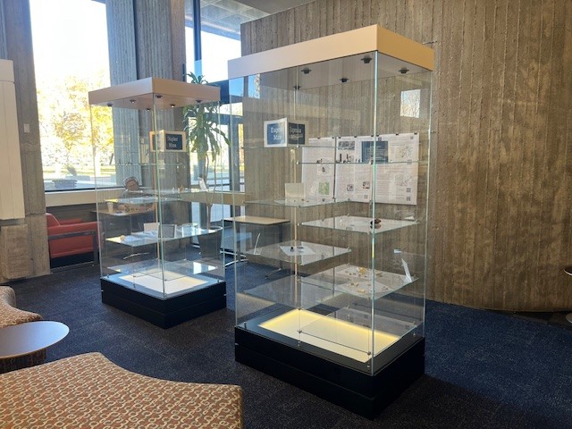
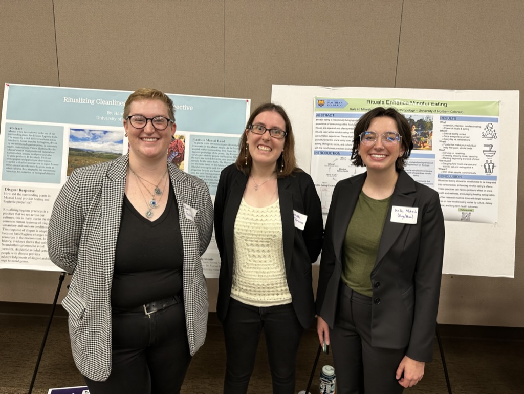
Highlights from the Anthropology Program
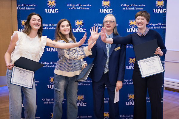
Honors Convocation 2026
Congratulations to Sage Kulp, Ava Oldenburg, and Ryley Anderson for being recognized for their academic excellence at the 2026 HSS Honors Convocation.
Medical Anthropology
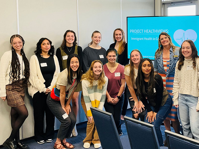
Different cultures have different ideas about health and sickness. Many factors - like society, culture, the environment, and money - can affect people's health around the world. Medical Anthropology studies questions like: What happens when different types of medicines come together and don't agree? At UNCO, students studying medical anthropology take part in research and community projects, such as Project HealthViews.
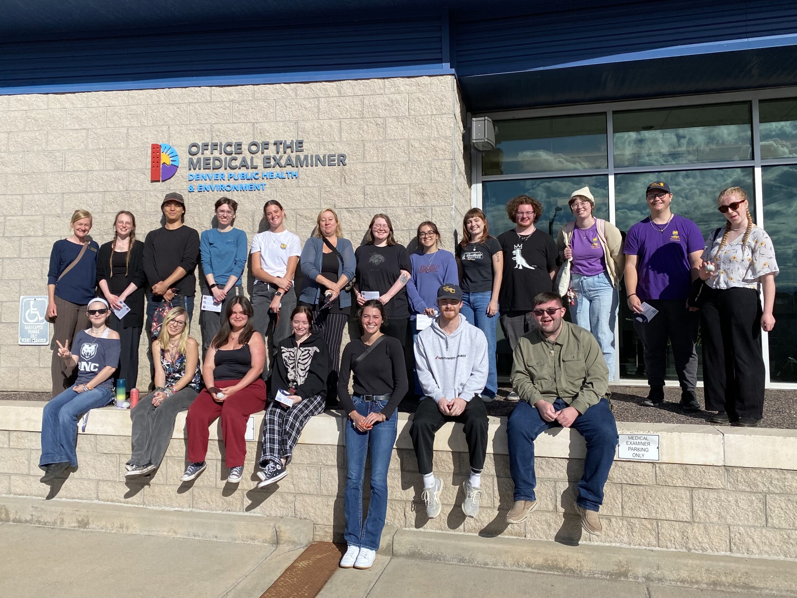
Forensic Anthropology
The Forensic Anthropology course gives you hands-on experience where you'll learn how to identify and understand information from human skeletons. Students who have taken this class now work in medical examiner and coroner's offices across Colorado. Some have even traveled with Dr. Kyle to Italy, Greece, and Albania for field research.
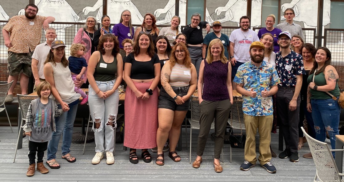
Anthropology Club
Our Anthropology Club is for every anthropologist of every level. It's a place to explore ideas, gain valuable experience, and take part in the community. Our goal is to give students a way to learn more about people and cultures, both in their own lives, and in the community. We want to help our students get more involved in the community as well as help students and teachers get to know each other. We invite to everyone to help guide the club's direction this year by sharing your ideas and feedback. Students, professors, and staff are always welcome to come and join all club events and meetings.
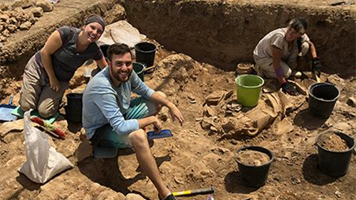
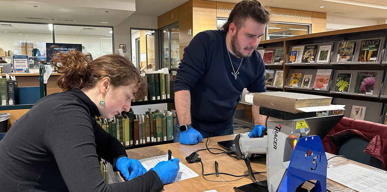
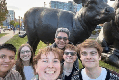
Field Work
Anthropology students have the opportunity to join professors on real-life research projects. If you’re interested in archaeology, your professors will help you find suitable opportunities for field research both locally and in other states or countries Dr. Whitney Duncan, a medical anthropologist, works with students to study the health and well-being of the local immigrant community to understand what their daily lives are like and how local and federal policies impact their health.
Campus, Communities, and Internship Opportunities
Students can engage with the community through both class projects and internships. In ANT 300 Applied Anthropology, students work with local communities on research projects that help identify and address issues affecting them. In ANT 355 Medical Anthropology, students study how to research solutions to health challenges faced by different cultures and communities in Northern Colorado. Outside the classroom, students have completed internships at the Greeley Museums, the Museo de la Americas in Denver, the Northern Colorado AIDS Project, the Weld County Coroner's Office, local organizations that support refugee communities, the National Park Services, and many other sites.