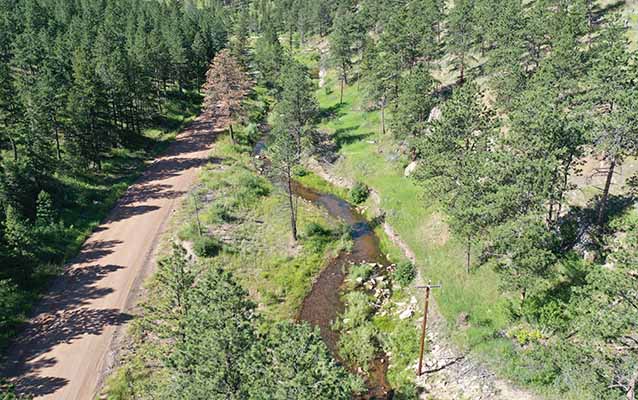
Graduate students Haylie Brown and Courtney Lanier have been collecting pain staking data at a river restoration site on the Little Thompson River for most of the summer. The graduate students recently joined Dr. Bywater-Reyes for a much quicker way to collect data. With a drone! After receiving training for drone flight and becoming a certified remote pilot, Dr. Bywater-Reyes flew flight paths that acquire overlapping images the research team will use for structure from motion post-processing. The end product will be a 3D model of the river site for use in modeling and to link with other datasets, including grain size and vegetation.
River Research with Drones